
Analysis of citizen science bird reports reveals that biologists who look at the big picture may miss the trees by focusing too much on the forest.
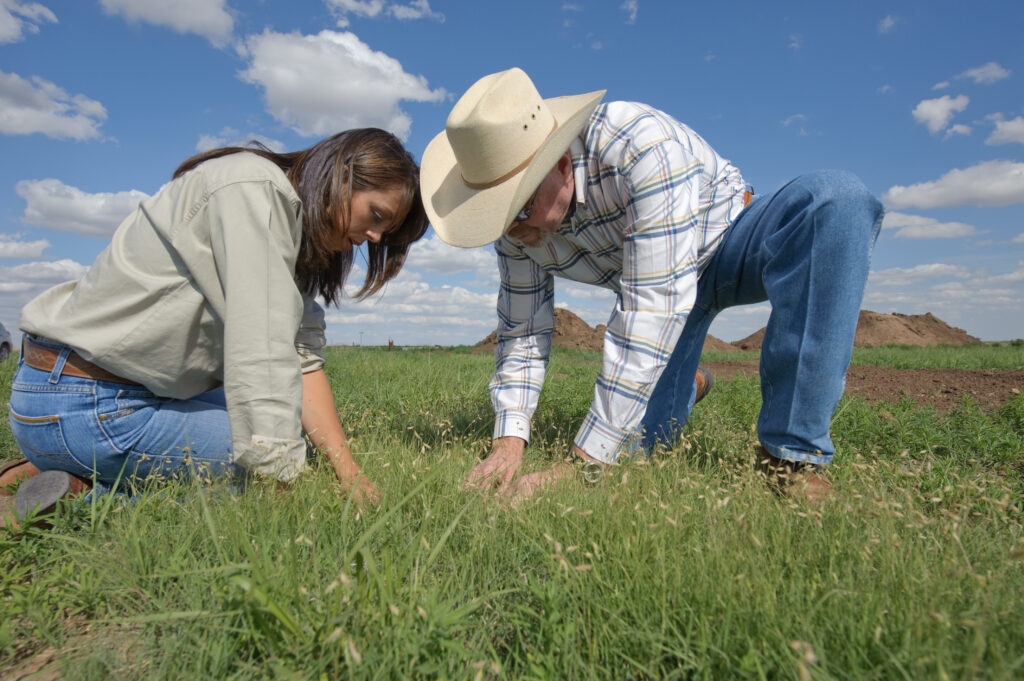
To conserve birds throughout North America in the face of climate and land use change, researchers need to know where they occur. Scientists commonly do this using species distribution models. By working at high resolution, bird researchers may find hidden hot spots of diversity that they might have missed otherwise.
“The species ranges really shrunk a lot when the models used coarse information about habitat features like land cover type and climate, just because they were missing all of these small habitat patches,” said Jeremy Cohen, a research scientist at Yale University. “When you add them all up, you can actually end up missing a quarter of the distribution.”
Modeling relationships between a species and its habitat on a fine scale—like a square kilometer—is often quite taxing on computer processing, with over 25 million square kilometers of land in North America. As a result, researchers often fit distribution models on a much coarser scale. Cohen and his colleagues wondered if researchers summarizing habitats at coarse scales may be leaving out important information.
Cohen led a study published in Global Ecology and Biogeography using citizen science data from eBird, a platform run by the Cornell Lab of Ornithology where users submit bird sightings, to determine how coarser scale distribution models might be biasing our picture of North American bird biodiversity.
The team used machine learning—a form of AI—to look at how species occurrence and absence related to habitat features such as climate, elevation and land cover type summarized at grid cells of 1, 3, 5, 10 and 50 kilometers. They repeated this for 572 bird species native to the U.S. and Canada. Then, they checked how well the models predicted biodiversity by generating a list of over 300 well-surveyed, evenly spaced sites in North America and comparing the presence or absence of species at these sites versus what their model suggested using different resolutions.
“Basically, we’re asking, ‘How well does the total number of species predicted by the models match up against the actual species recorded?’” he said. “What percent of the species that were estimated to be there were actually there?”
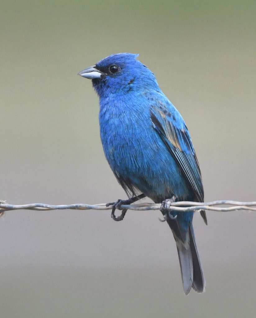
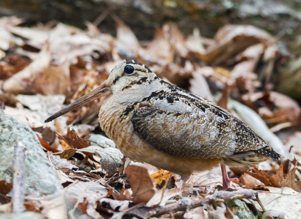
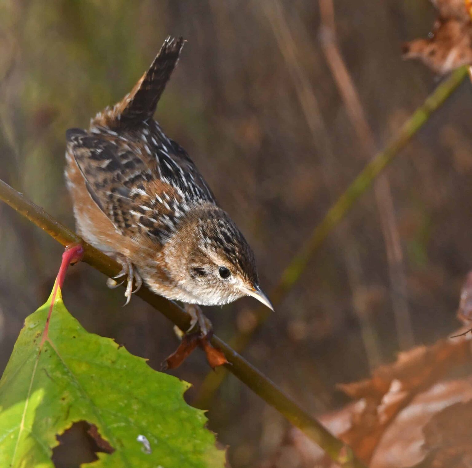
The team found that the coarser resolution models missed a lot of species that showed up at finer scale models that paid more attention to smaller habitat patches. For example, sedge wrens (Cistothorus stellaris), which breed in the central U.S. and Canadian grasslands, had smaller range size predictions when researchers used coarse-grain models because their habitat is patchy. Lesser goldfinches (Spinus psaltria), which live in woody and scrubby patches surrounded by deserts, also had much smaller ranges predicted when coarse-grain models were used.
The researchers also looked at seasonal biases by repeating the study with summer and winter distributions of species. “We did that because in the summer, birds are really picky about the habitat that they choose for breeding, but they are less picky in winter,” Cohen said. When comparing models across seasons, they found that the coarse-scale models were especially likely to miss species in the warmer months.
Finally, Cohen and his colleagues found that when looking at individual species, coarse-scale models did a poor job detecting species that had small ranges or were specialized to specific types of habitat, again missing important habitat patches. These species also happen to have the greatest conservation concern in North America.
Taken together, these small patches made a difference—you might miss up to a quarter of a species’ range by sticking to these coarse-scale methods, Cohen said. “By relying on coarse-scale models, managers could be missing a number of species that need to be considered for conservation in a given region,” he said.
Cohen said this research was borne from the 30 by 30 initiative to conserve 30% of land and water by 2030 in North America. “We’ve developed these really high-resolution maps that are really fine-grain, so you can see at local scales where biodiversity is high and then figure out which land is the most suitable for conservation,” he said.
Article by Dana Kobilinsky