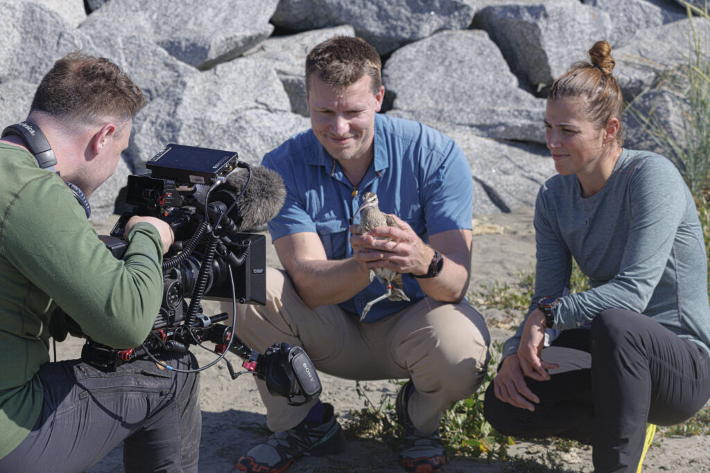


Drones have recently taken the wildlife world by storm, following everything from deer to whales over land and water to gather information on their populations with minimal disturbance. Now researchers in Antarctica have figured out how to estimate the weight of leopard seals using images shot from these unmanned aerial systems, identifying a simple non-invasive way to monitor the health of these animals and their ecosystem.
“Drones are everywhere now,” said Jefferson Hinke, co-author on the paper published in PLOS ONE. “There are lots of people trying to use these in wildlife research because it does provide a low-impact way to collect data about populations.”
A research fisheries biologist with the National Oceanographic and Atmospheric Administration’s Southwest Fisheries Science Center, Hinke’s team partnered with a drone company to custom-build drones that could safely and effectively take aerial pictures of leopard seals (Hydrurga leptonyx). After several years of development, in January and February of 2013 and 2014, they flew a small drone over 15 seals on the Antarctic Peninsula. Testing various body measurements from 50 photographs they obtained, the scientists found that relating the length and girth of the individuals captured in an image to on-the-ground measurements helped them accurately model each animal’s mass, which they confirmed by weighing the seals.
“Irrespective of what position that animal might be in on the beach or what it might be laying on, with two simple measurements, we get a good estimate of its mass,” Hinke said, “within 4 percent of its body weight.”
By quantifying the noticeable variability in fat content in a seal’s belly as it gains or loses weight, he said, the formulated equation could serve as an indicator of the pinniped’s health over time.
“Now that we have that model, you should be able to take an image from a drone or any overhead platform, measure length and width and estimate mass, so you wouldn’t need to capture that animal,” Hinke said. “This tool would allow you to monitor large pinnipeds to assess the condition of these animals. You can quickly fly over, collect images and do this repeatedly over the season or many years to look at the same individuals.”
Drones appear to cause no behavioral disturbance to the seals, Hinke said, providing “a noninvasive way to collect a lot of good data about the health of individual animals.” The conventional hands-on approach of capturing, drugging and weighing a seal — which can weigh more than a grizzly bear — poses risks to both animal and researcher, he said. Gathering photos of the pinnipeds using drones is much easier than working directly with them, which requires extensive training, experience and authorization followed by several hours in the field.
Photography on drones is also more practical and reliable than manual photography on land, where “you have to know how far you are from an animal,” Hinke said. “And the way an animal is on the ground sometimes doesn’t give you the same perspective of the body parts you need to measure.”
Scientists have long used overhead photos to gain information about the population sizes and individual conditions of cetaceans and other marine wildlife, he said.
“The method we came up with was an improvement over other methods that included other kinds of pictures or different measurements,” Hinke said. “It’s a new way to help us in our assessment of animal health and ecosystem conditions.”
Hinke and his fellow researchers are taking photos on drones for another year at their field camp to extend their model to other seals that have similar body traits, such as Weddell seals (Leptonychotes weddellii) and Antarctic fur seals (Arctocephalus gazella). Meanwhile, his other colleagues are deploying drones to monitor killer (Orcinus orca), gray (Eschrichtius robustus) and blue (Balaenoptera musculus) whales.
“Drones provide an efficient, effective way to collect data, and that use will only grow,” Hinke said.
Article by Julia John