
In 2014, Secretary of the Interior Sally Jewell formalized a Youth Initiative to expand career, educational, volunteer, and recreational opportunities for youth and veterans on the nation’s public lands, including partnerships with businesses.
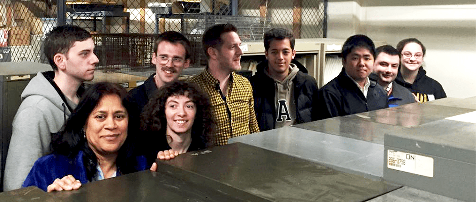
One unique program that does just that is a partnership between USGS and the Fairfax County Public Schools to provide students with disabilities with actual employment training. Students from the county’s STEP program (Secondary Transition to Employment Program) are matched with a USGS mentor or project team from across the country.
“It’s a grand slam for all involved,” said Dawn Childs, USGS Information Specialist, Cooperative Fish and Wildlife Research Units. “Recent high school graduates with special needs get real-world experience while helping USGS scientists on projects ranging from grizzly bears and energy to historic documents and bird migration. And a school system gets to successfully train students to enter the workforce.”
Digitizing land change and energy development in the Prairie Potholes
The USGS Northern Rocky Mountain Science Center in Montana had thousands of data points to digitize for a project that evaluated the ecological effects of energy development in the Williston Basin.
Former volunteer Kevin Kim’s work on the energy project was so outstanding that he was later hired by the USGS Patuxent Wildlife Research Center Bird Banding Lab (BBL). As a volunteer, Kim helped geologist Todd Preston by using mapping software to digitize and map more than 21,000 well pads over a period of two years. Preston said Kim’s work was so invaluable that he listed the student as an author on a recent scientific paper.
Decoding the information contained in hundreds of thousands of bird bands
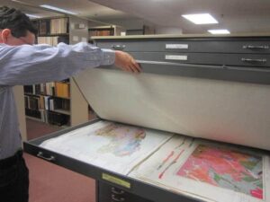
Since 1920, the BBL has tracked the data obtained from birds banded in North America. The BBL has several hundred bird banding schedules representing thousands of banding events prepared to scan and digitize.
But hundreds of thousands of past entries — a wealth of scientific information — have been mostly inaccessible. Under the direction of USGS geographer Derek Masaki, nine student volunteers learned how to scan documents for digitization and to track data using spreadsheets. Then they worked tirelessly to digitize this banding information, and in little more than a year, they’ve scanned more than 100,000 sheets of banding data.
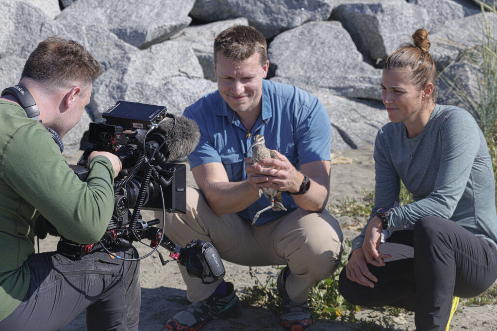
Of grizzlies and huckleberries, bighorn sheep and salt
USGS Northern Rocky Mountain Science Center has thousands of trail camera photos triggered by wildlife are being visually analyzed by these students. Their work is enabling USGS researcher Tabitha Graves unravel the importance of specific food resources during different times of the year for grizzly bears (huckleberries) and bighorn sheep (salt licks).
To help decode the contents of these pictures, Graves and Childs trained the students to recognize and record the life-cycle stages of huckleberries (e.g., flowering, fruiting), as well as the number and age group of sheep using salt licks, an important but limited resource.
USGS needs volunteers! Citizen science helps map our world, our coastal changes, and sheds light on climate change effects on birds
The USGS has numerous projects that use crowdsourcing and citizen science, which is scientific work undertaken by the public to help answer important scientific questions.
Student volunteers were trained and worked on three USGS citizen- science projects: iCoast, The National Map Corps, and the North American Bird Phenology Program. USGS needs volunteers for these projects.
Home Run for Earth Science
Student volunteers like to say that they liberate paper datasets, said Childs. “But not only are they liberating data, they are saving the bureau valuable time and money by processing tens of thousands of records.”
This is a partial list of accomplishments from October 2013 through December 2016:
- Over 122,450 Bird Banding Lab sheets scanned
- Over 21,000 well pads digitized
- Over 25,000 North American Bird Migration Program data cards transcribed
- 6,528 wildlife time-lapse images record
For more information about the USGS STEP partnership, email vo***********@**gs.gov. For more information about FCPS STEP, visit the program website.
President Obama has a commitment to increase the percentage of Targeted Personnel with Disabilities which every Federal agency has a 2 percent goal. The Administration established a government-wide initiative to promote diversity and inclusion in the Federal Workforce.
Resources
USGS Press Release, December 22
Chantilly High School Secondary Transition to Employment (STEP)
Executive Order 13548, Increasing Federal Employment of Individuals with Disabilities
Executive Order 13583, Establishing a Government-Wide Initiative to Promote Diversity and Inclusion in the Federal Workforce
Fairfax County Public Schools Career and Transition Services – STEP
Schedule A Hiring Authority: Appointments of Individuals with Disabilities
Secretarial Order 3332, Engaging the Next Generation
South Lakes High School
This article originally appeared on USGS’s website. The full, extended version is available here.
The USGS is a Leading Sponsor of TWS.
Article by The Wildlife Society