
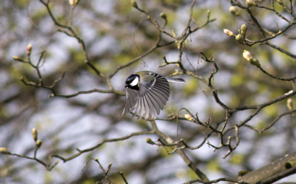
A newly developed tool from the United States Geological Survey (USGS) shows how the habitat ranges for select species of North American birds might look in 2075 and could eventually help wildlife biologists make their own local predictions. USGS scientist Terry Sohl looked 50 species of birds in a study published in PLOS ONE and found the results varied by species — some birds could have expanding ranges, while others might see theirs shrink.
The study is not the first to cast light on how bird ranges will shift in the future. The Audubon Society released a comprehensive report detailing how 588 bird species in North America will react to the changing climate. A forecast map illustrates how species’ ranges may shrink, expand, or shift over the next 65 years. Climate change is only one of many challenges that birds will face according to Sohl.
How humans use the land within a bird’s given range can be just as important as climate shifts. The spread of urban areas, land development, and deforestation are a few things that can cut into vital bird habitat and impact bird ranges locally. “Climate gives you the big brush picture of what will happen over all, but if you have the land use data you can see the fine detail,” said Sohl. “It can really change the picture.”
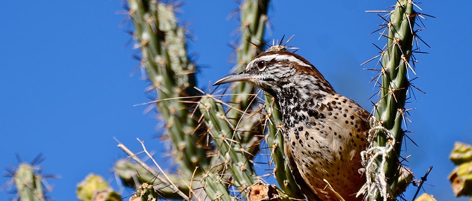
For some birds the picture looks good. By 2075, climate change will increase temperatures by three to seven degrees Fahrenheit, making larger swaths of area in the southwest suitable for species such as the Gambel’s quail and the cactus wren that breed there. The study predicts the ranges of both species will increase by more than 50 percent.
Other birds may not be so lucky. The model projected that the Baird’s sparrow could lose up to 90.8 percent of its range in the U.S. as warming temperatures drive it out of its summer breeding grounds in the Dakotas, Minnesota, and Montana northward further into Canada. Similarly, the forest-dwelling hooded warblers may move north into upstate New York, northern New England, and Michigan as the climate warms, but its northern range may become fragmented as agricultural lands in the east expand and replace forested areas.
While Sohl looked at large range changes over North America, he believes the approach — taking into account both climate change and future land use — can be useful on a smaller scale. He and other USGS researchers are working on a tool that would allow land and wildlife managers to make their own projections about how the landscape will change locally. Researchers could then plug their projections into climate change prediction models and achieve similar results but on a local scale.
“What we are trying to say is ‘hey, all you guys using climate modeling, land use data is interesting too,’” said Sohl. “You are only telling part of the story if you are just looking at climate going out into the future.”
Article by The Wildlife Society