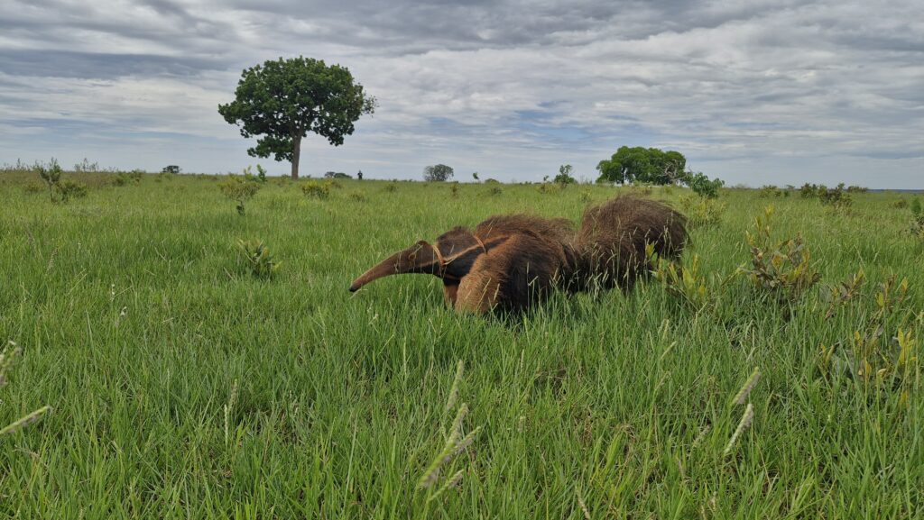

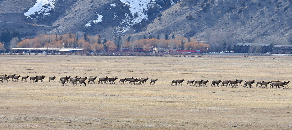
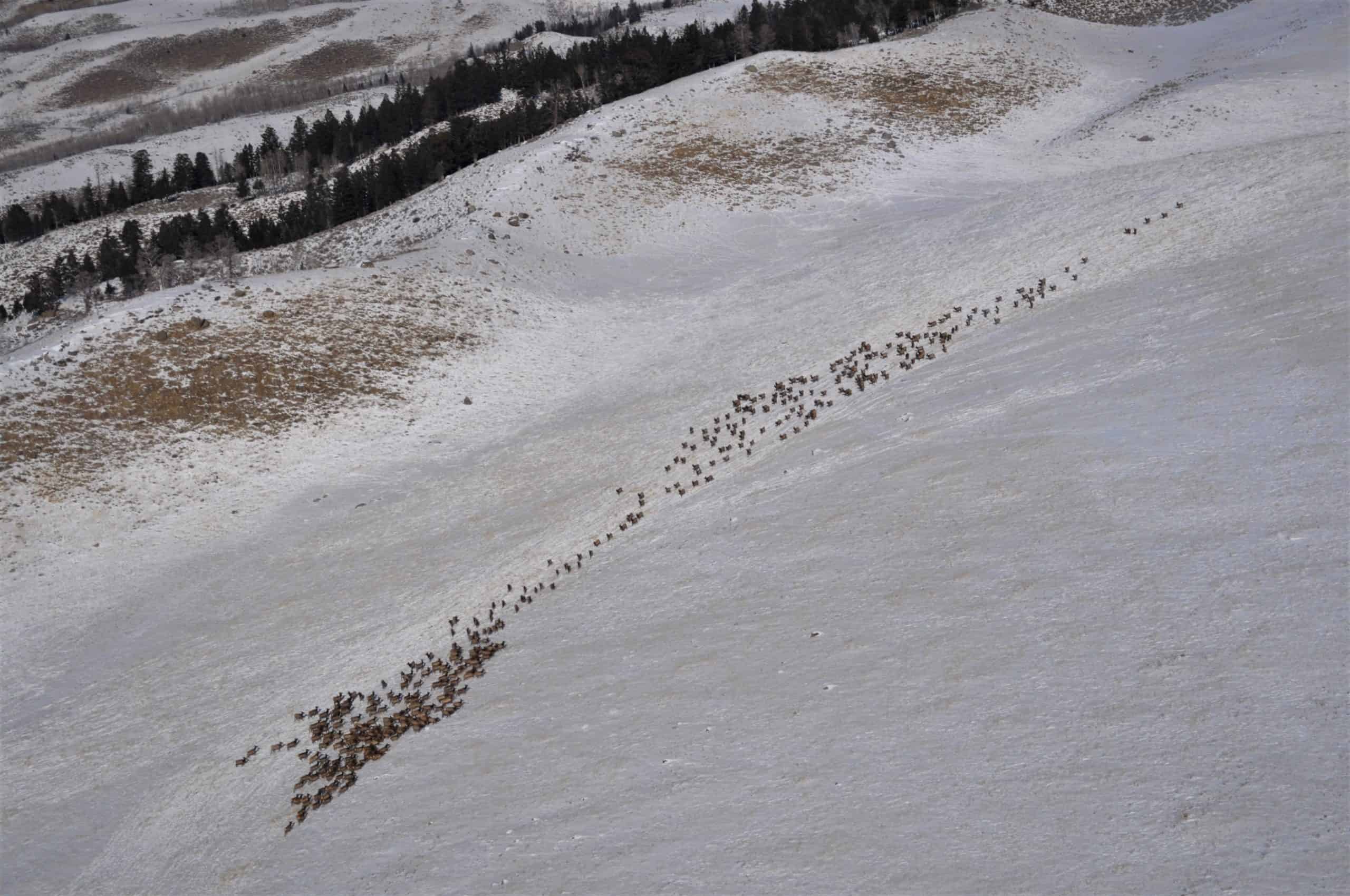
Mammals need landscapes that accommodate their movements so they can access food, water and mates, and genes can flow between populations. But that movement is often blocked by human structures like roads and urban development.
That’s a problem, especially as wildlife populations decline around the world, researchers say.
“We’re facing a biodiversity crisis,” said Angela Brennan, a conservation scientist at the University of British Columbia and a fellow at the World Wildlife Fund. “We’re looking at more than a million species being faced with extinction.”
Protected areas are often looked at as the cornerstone of dealing with the biodiversity crisis, but, “there are some shortfalls in their ability to curtail the crisis,” she said. Protected areas often can’t provide all the resources that wildlife needs, and they’re often surrounded by human-dominated landscapes. “If [protected areas] end up being the only place where all of our biodiversity resides—like islands in a sea of human-modified land—we would see many populations and species disappear,” she said.
In a study published in Science, Brennan and her colleagues tackled where protected areas are most and least connected around the globe.
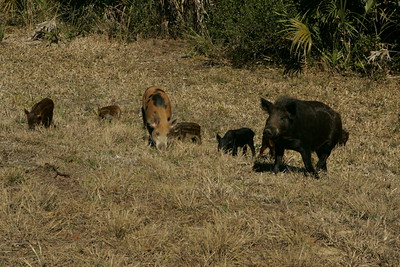
They took information from a 2018 paper, which used GPS movement data from 800 individual mammals from 57 different species of mammals that documents how human barriers affect their movements. The human barriers in that paper were based on an index of human pressures on the environment, including factors like roads, lights and development.
Using that information, Brennan and her team mapped the flow of mammal movement through the landscape, highlighting areas where movement was predicted to be most concentrated.
The researchers also developed a metric to measure connectivity between protected areas from the viewpoint of moving mammals. “This metric can be used by nations to monitor progress towards global connectivity goals,” she said.
The maps also helped the team identify vital areas for connectivity. In North America, the Yellowstone to Yukon corridor and the landscape stretching from the Coast Mountains of British Columbia to the North Cascades in Washington state stood out as important corridors.
In the Amazon Basin, large protected areas in close proximity to one another offered contiguous blocks of concentrated mammal movement. In other areas, including southern Africa and Europe, mammal movement flowed through small pinch points within human landscapes. Of the world’s most important areas for connectivity, the team found, two-thirds currently fall outside of protected areas.
“We found that reducing the human footprint is more important than just adding protected areas,” she said. In fact, they found that reducing the human footprint by half would improve connectivity by 28%. Reducing the footprint and adding more protected area would improve connectivity by 43%.
That doesn’t mean kicking people out. Building crossing structures across busy highways or creating stepping stones between protected parks can preserve critical animal linkages.
Brennan said she hopes this paper is useful as nations aim to meet global biodiversity targets and as managers and conservationists work to improve regional connectivity.
“By creating this map, we’ve now provided connectivity as a new layer that can be used in conservation blueprints,” she said. “We’re capturing a dimension of biodiversity that hasn’t been done before at that scale.”
Article by Dana Kobilinsky