

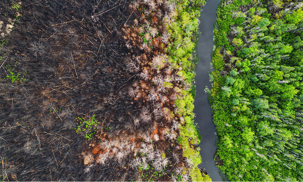
Four decades of satellite image analysis have revealed that some of Canada’s regions most resilient to the impact of climate change lack protections. Meanwhile, national parks and other areas may experience quicker change in the future. In a study published recently in Communications Earth & Environment, TWS member Michael Noonan, an assistant professor in biology at the University of British Columbia Okanagan, and his colleagues examined daily satellite vegetation data from 1981 to 2025. This information helped them determine the relative unpredictability of weather patterns across the country. While unpredictable weather has generally increased over this time, it isn’t spread evenly. The researchers found that protected areas often had unpredictable weather, while predictable weather patterns often occurred in unprotected areas. “Some parts of Canada tend to be relatively stable year after year, while others swing wildly,” Noonan said. “What we’ve shown is that this pattern of instability has real, measurable consequences for biodiversity. And our protected areas weren’t designed with any of this in mind.” Noonan said that when considering future areas to protect, authorities should consider protecting these resilient areas.