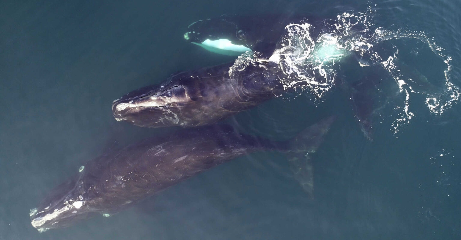
Researchers have uncovered a better way to determine North Atlantic right whale presence, which has already helped managers mitigate threats to the endangered species.
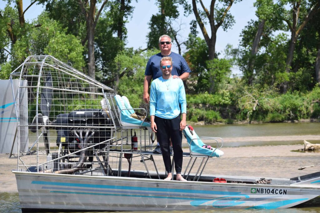
“I grew up on the U.S. East Coast,” said Duke University research associate Jason Roberts, who studies the whales. “This is the endangered whale in my backyard.”
Roberts worked at Microsoft as a computer engineer before dedicating himself to finding new ways to use computers in conservation work. Highly endangered North Atlantic right whales (Eubalaena glacialis), which face threats of becoming entangled in fishing gear, being struck by boats and having to navigate new areas for prey due to climate change, were the perfect subject for Roberts to focus on.
For the right whales, just knowing where the species occurs is a challenge. Unlike many species, it’s not feasible to monitor this population with radio transmitters. “It’s not entirely harmless to attach these tags to the animals,” Roberts said. “For the current generation of tags, you have to implant them fairly deep in their blubber. And they’re very social animals, so they rub against each other, and sometimes other things, so they have a tendency to knock the transmitters off.” The species is also incredibly rare, so finding individuals to track is difficult.
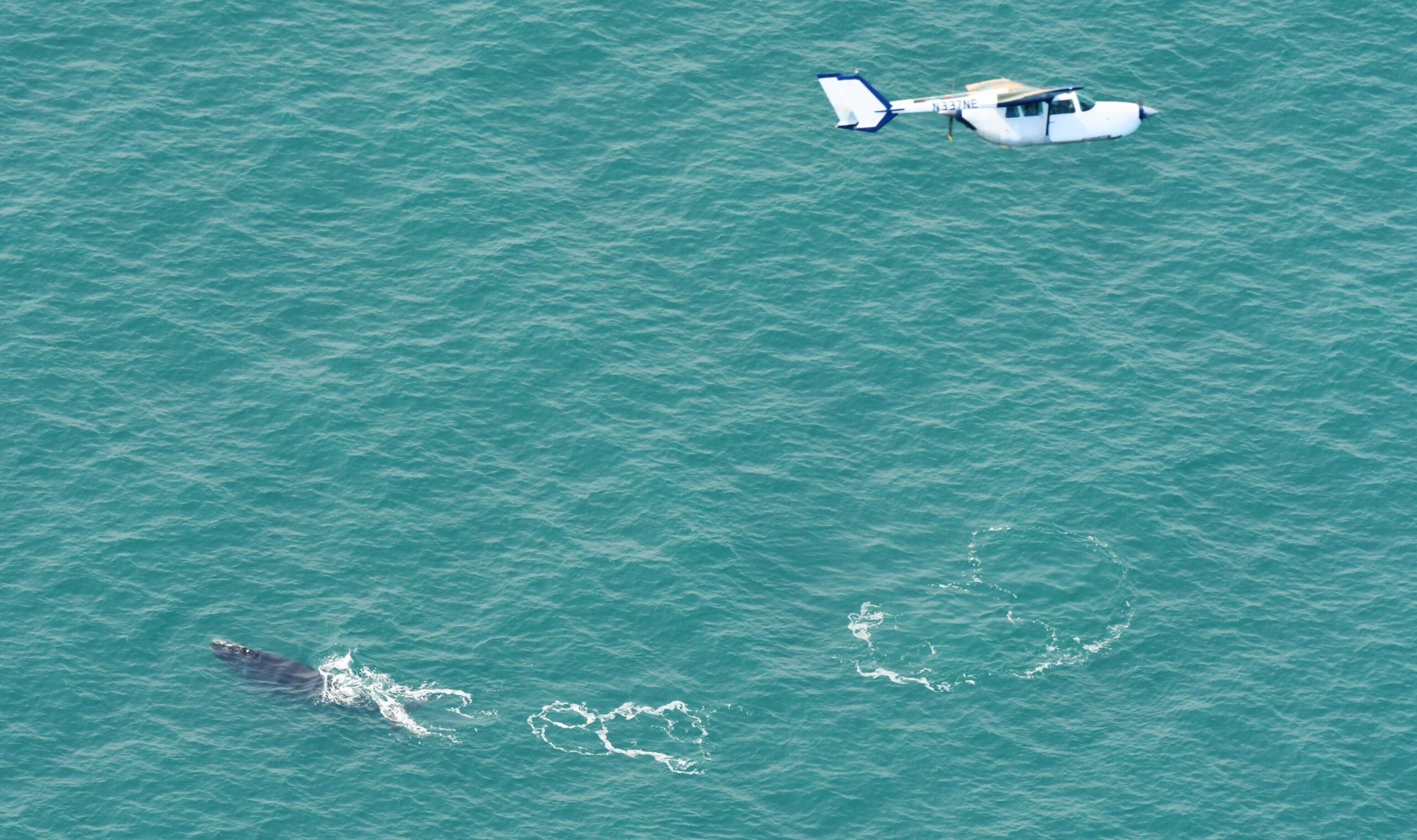
In the past, researchers have relied purely on aerial sightings as well as sightings from vessels to determine where to find the whales. That information is held by the North Atlantic Right Whale Consortium, a data sharing group made up of researchers, conservation organizations, industry and technical experts with sightings dating back 100 years.

Scientists had used this data to create maps showing where most sightings occur. The problem was that these maps were patchy and did not account for how well each area had been monitored. Where the whales appeared was skewed by where people spent the most time looking for them.
That’s where Roberts came in. He and his colleagues set out to create a model that could more accurately predict the distribution of whales across the East Coast based on the amount surveying that was done in each area and the conditions that occurred.
In a study published in Marine Ecology Progress Series, his team trained a model to take into account factors like surface temperature, chlorophyll concentration and sea floor depth to determine where North Atlantic right whales were most likely to be found. The team then used data from hydrophones—underwater sound recording devices—to see if their predictions were right.
“The great thing about hydrophones is you can put one in the water and it runs 24/7,” Roberts said. “It sits there continuously monitoring, and that’s something that you can’t generally do with a human. You can’t put a human in the ocean with binoculars and have them just sit there all the time.”
Right whales don’t use sonar, though, so they don’t vocalize as much as some whales, and it can be hard to gauge how far the whales are from the hydrophones, especially in shipping lanes where there’s more noise. But by determining where the hydrophones picked up the most detections, they were able to double-check the models built from the sightings.
NOAA Fisheries has used the results of the analysis to inform mitigation efforts for the whale, Roberts said. His team is now updating it to expand the range north to the Gulf of St. Lawrence.
Article by Dana Kobilinsky


