


News
FILTERS
Watch: Elusive and endangered leopard family caught on camera

LISTEN: The forgotten bird artist
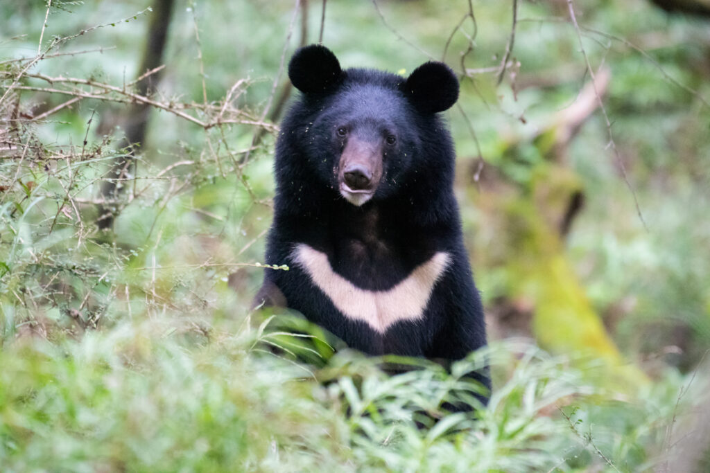
Deadly bear attacks surge in Japan
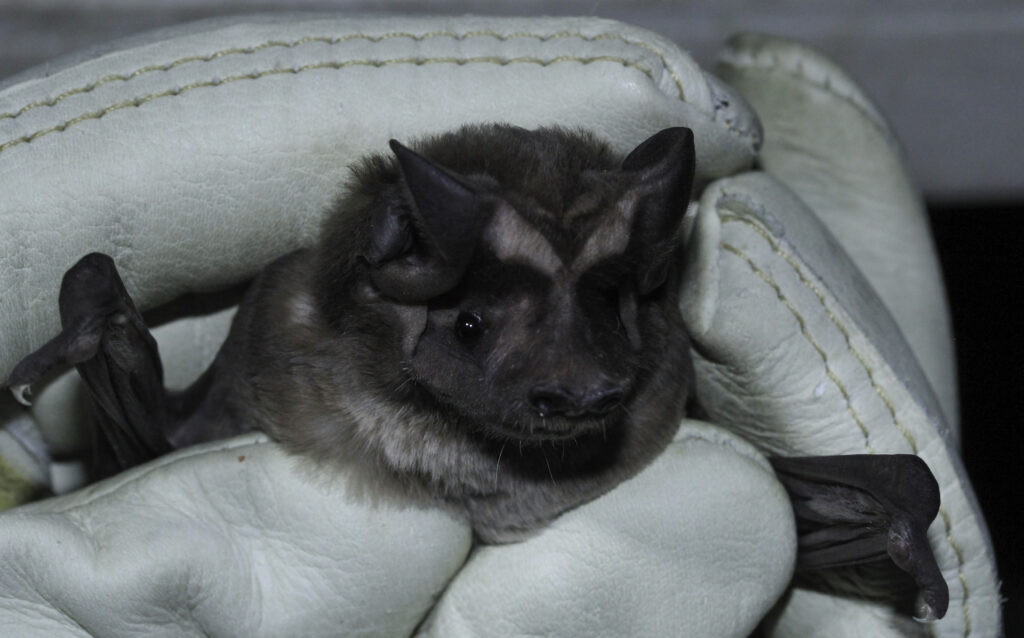
Florida bat boxes must beat the heat

Meet the candidates for TWS’ 2026 elections
‘Lazarus’ marsupials rise from the dead after 6,000 years
Paid Ad

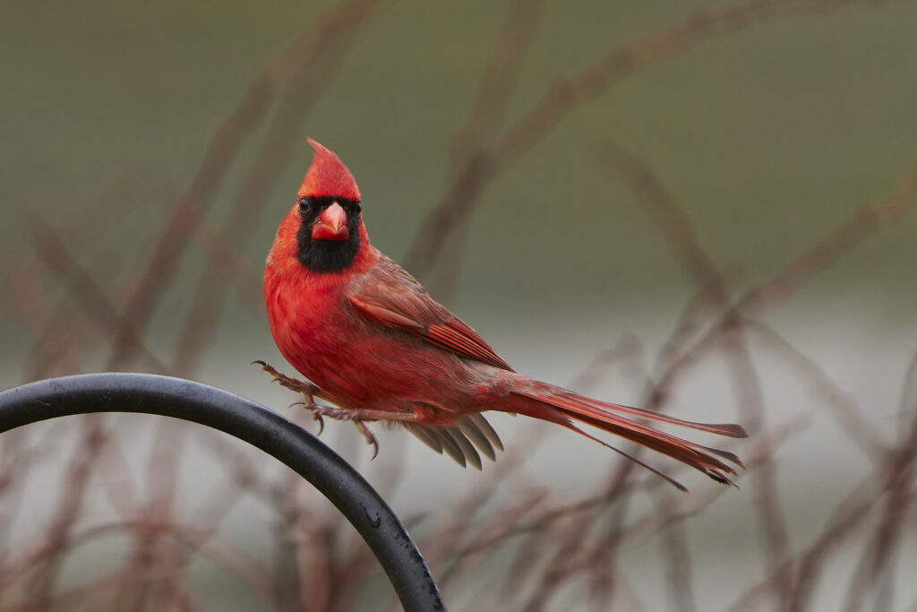
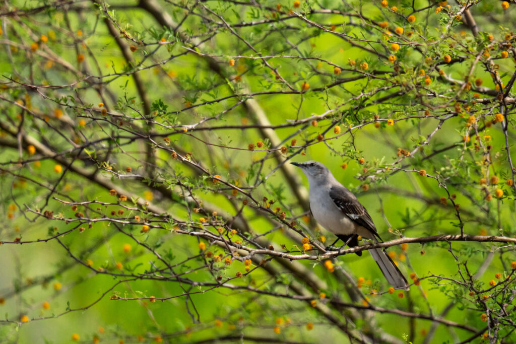
Even songbirds sweat the small stuff
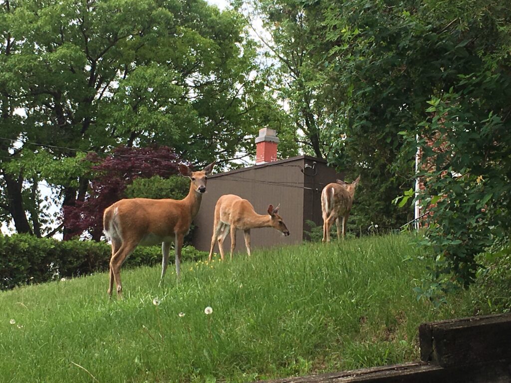
Toxoplasmosis more prevalent in suburban deer
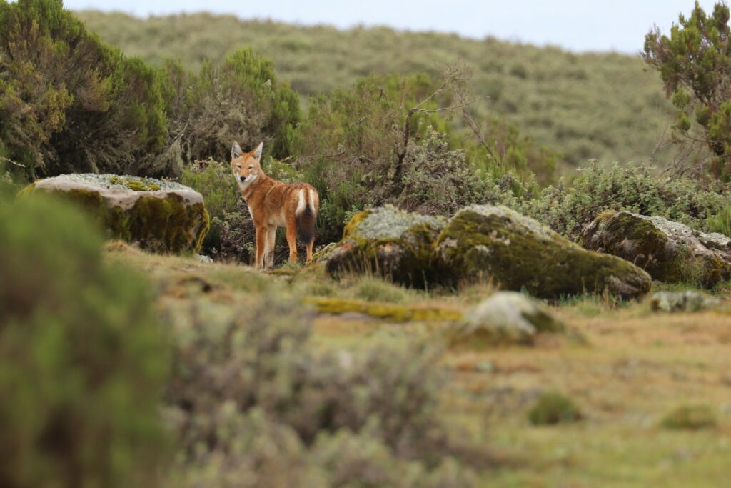
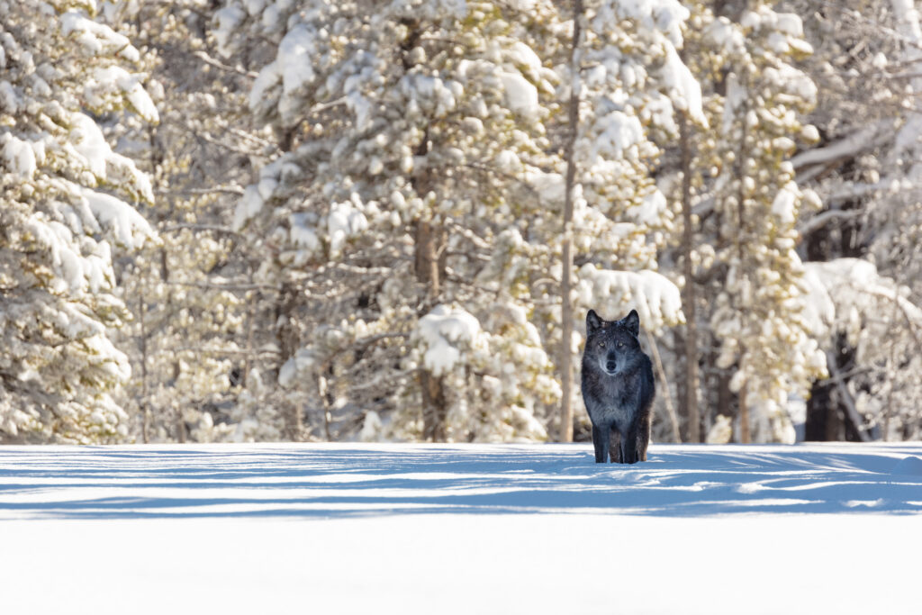
Ethiopian wolves may moonlight as pollinators

Rock climbers collaborate with bat biologists to find roosts
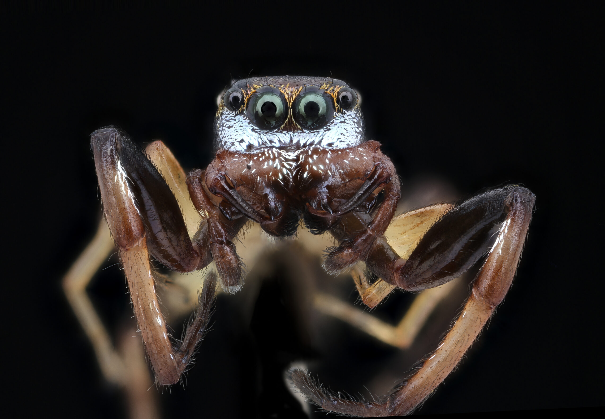
What we don’t know about insects can hurt us
LISTEN: Keeping birds on the map
Paid Ad


CAN Newsletter: Volume 12, Issue 3, March 2026
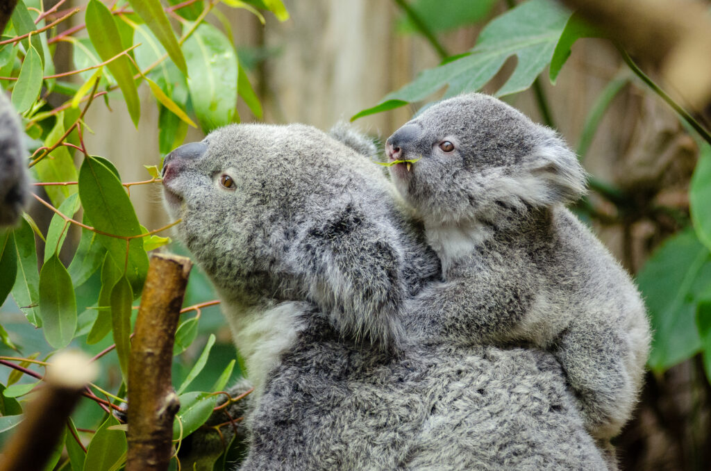
Koalas claw their way out of extinction vortex
Wildlife goes viral on YouTube, but conservation is missing
Congressional Engagement: Hearing on ESA Implementation
Sign On: Continued support for USDA’s Chronic Wasting Disease