JWM: Trail cameras can lure predators to nests

Nest cameras that researchers set up to survey predation on birds under natural conditions might skew their results by inadvertently luring ravens to those birds’ eggs.

These findings could have implications for the usefulness of tools like trail cameras in surveying natural ecology in some environments.

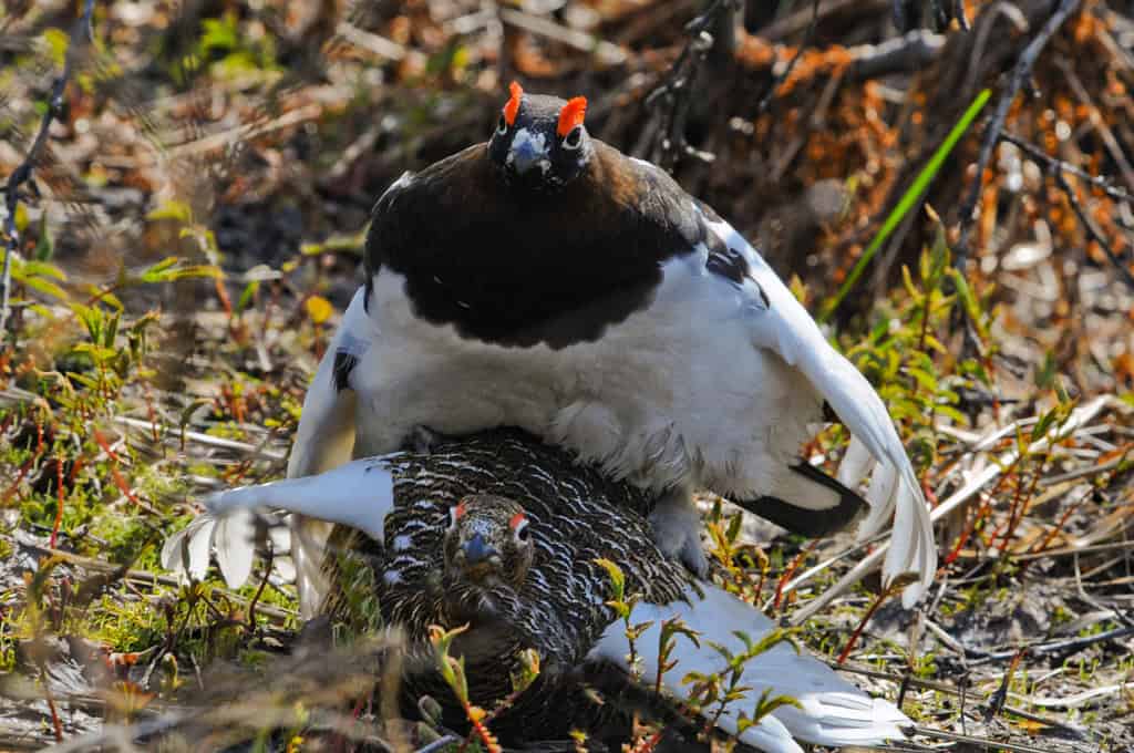
John-André Henden, who was with the University of Tromsø in Norway at the time, had been surveying willow ptarmigan (Lagopus lagopus) in Norway since 2009. These and some other ground-nesting bird species have declined in Arctic Norway, so researchers want to identify their main predators.

Nest cameras have been touted as a possible method to learn about nest predators. But the lack of vegetation in the area, which is mostly barren tundra, to disguise these cameras made Henden and his colleagues wonder whether they would work well. Without much vegetation, common ravens (Corvus corax) and hooded crows (Corvus cornix)—both found in the area—might easily be able to cue in on the work the researchers were doing to find their prey.

Ravens are smart, said Henden, who is now a senior researcher with the Institute of Marine Research, a Norwegian government institute for monitoring. “They are more than capable of connecting the dots with respect to our behavior and activities.”

Who is really behind the camera?

In research published recently in the Journal of Wildlife Management, Henden and his colleagues conducted an experiment to determine whether nest cameras change natural predation levels.

In 2018 and 2019, they set out 50 artificial nests on the Varanger Peninsula in northeastern Norway with quail eggs, which look a lot like the eggs of shorebirds and ptarmigan that breed in the area. Each year, a nearby nest camera took images of 30 of these nests, while 20 nests didn’t have a camera.

They found common ravens were the main nest predators, preying on 96% of the nests. Hooded crows were responsible for 6% of the predations, while Arctic skuas (Stercorarius parasiticus) preyed on 4%. Researchers detected red foxes (Vulpes vulpes) on several camera images, but they arrived at the nests after another predator had already eaten the eggs.

The team discovered a significant difference in predation rates on the nests with cameras versus those without them. In fact, almost 100% of the nests with cameras were preyed on.

While the researchers aren’t sure why this is the case, the lack of much vegetation in this Arctic tundra likely plays a role, Henden said.
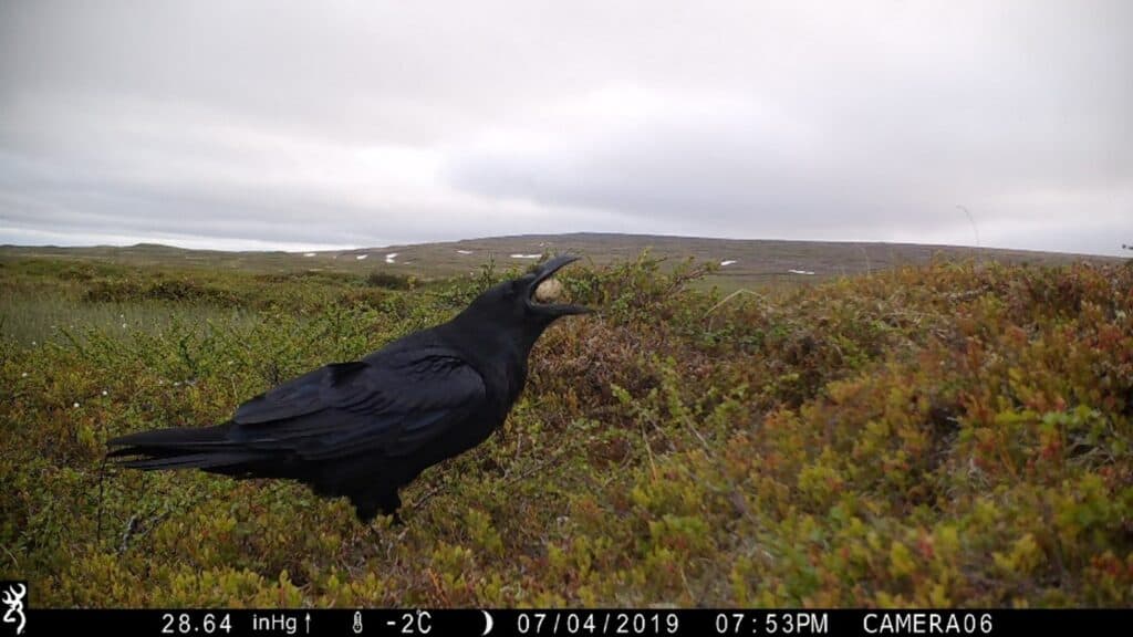
A common raven eats a quail egg in an artificial nest. Credit: COAT

Ravens are observant and can detect minor changes in their environment, such as the placement of a nest camera. If they investigate these and discover nests, they could begin to associate the presence of cameras with a meal.

The researchers’ experiment seemed to support this theory. When the team placed nests without cameras in areas with higher vegetation—around 50 centimeters tall—the predation risk was 10%, while the predation risk was more than 70% when vegetation height was less than 10 centimeters.  So even a little vegetation hides the details enough that the ravens can’t find nests as easily.

Do ravens watch researchers to find meals?

The mere presence of humans in some areas may be enough of a clue for the ravens to find nests. While the nests with cameras were preyed on much more than those without them, some 60% of nests without cameras were still preyed on. Ravens and crows might watch humans placing these nests from kilometers away and then come later to investigate once the scientists are gone, Henden said.  

The study highlights how important these corvids are as predators in this area, which is relatively close to the boreal forest.

But it also suggests the limitation of tools like trail cameras in some situations. Henden said their results reveal that it’s important to assess the implications of using technology new to some areas before conducting ecological studies.

In the future, he hopes that using smaller cameras might alleviate the bias that their presence could introduce into environments like the Arctic tundra.

This article features research that was published in a TWS peer-reviewed journal. Individual online access to all TWS journal articles is a benefit of membership.  Join TWS now to read the latest in wildlife research.  
Colorado releases additional 15 wolves

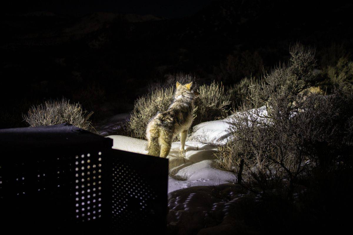
Wildlife managers have released 15 additional gray wolves in Colorado as part of the state management plan. Managers took the wolves (Canis lupus) from the wild in British Columbia and released them in Eagle and Pitkin Counties in Northwest Colorado. The releases were a part of Colorado Parks and Wildlife’s Colorado Gray Wolf Restoration and Management Plan, a multi-year effort to create a robust, self-sustaining gray wolf population in Colorado. CPW has been working on gray wolf reintroduction since voters approved a ballot initiative in 2020. CPW also confirmed the release of five wolves from the original Copper Creek Pack into Eagle and Pitkin Counties, which were recaptured in September.

Read more at CBS News. 

Q&A: A new metric to improve 5-year species status reviews

Five-year reviews—one of the main tools that the U.S. Fish and Wildlife Service (USFWS) uses to track the conservation status of imperiled species listed under the U.S. Endangered Species Act (ESA)—indicate whether a species has recovered, diminished or remained the same.

“A five-year review utilizes the best available scientific and commercial data on a species to determine whether its status has changed since the time of its listing or its last status review,” the Service states.

The results of these reviews affect the future of species—they can ultimately determine whether to downlist a species from endangered to threatened, elevate a species’ status to endangered or remove species from the ESA entirely. They can also determine whether a species or population has been extirpated or gone extinct. Through this process, biologists provide analyses and recommendations about how the status of species could change.

Courtesy of Olivia Davis

However, five-year reviews aren’t perfect. The five-year time period may not be long enough to catch quick changes in species numbers, for example. And they may not very well capture the nuances of how a species might be increasing in numbers in one area while disappearing in another.

As a result, Olivia Davis, a postdoctoral fellow in biology education at Arizona State University (ASU), and her co-authors worked with USFWS biologists and nonprofits to see if there were ways that these five-year reviews might be improved without adding too much extra work for the reviewers. In our latest Q&A, we spoke with Davis about the results of her paper on this topic, which was part of her PhD thesis at ASU, published in Conservation Science and Practice.

Why did you want to look at five-year reviews during your PhD?

While working with a small nonprofit collaborator called the Environmental Policy Innovation Center (EPIC), there had been a lot of talk about monitoring endangered species recovery progress and how that could be done better. One of our collaborators thought that having a metric—or some kind of way to evaluate recovery progress of species alongside the federal processes that they already had in place—could be helpful.

We worked with other nonprofits like the Defenders of Wildlife and the Illinois Natural History Survey, as well as the U.S. Fish and Wildlife Service, directly. Our collaborator with EPIC had developed the plan for this metric. Basically, it was like a scorecard on an Excel spreadsheet. We went through each species and marked whether they were declining or improving in certain areas. The goal was to get a snapshot of the recovery process to see how species were doing and where we could focus recovery efforts once five-year reviews were published.

What metric did you and your colleagues come up with?

It was based on another paper Ya-Wei Li, who was on my committee, and his colleagues had worked on. Basically, they wanted to look at the 3Rs, which is a concept in biology by Shafer and Stein. The 3Rs—resiliency, redundancy and representation—are a way to look at how a species was doing biologically.

Resiliency, which is the first “R,” relates to how a species can withstand stochastic fluctuations or random changes like ebbs and flows. Redundancy relates to whether a species can withstand a catastrophic event, whether that’s related to climate change, a hurricane or something else. Representation looks at how it’s able to adapt to changing environmental conditions. The U.S. Fish and Wildlife Service decided that they liked this as a framework to encapsulate the ability of a species to adapt to external stressors and changes.

We wanted to see the current and projected status of the species. With that knowledge, the USFWS could decide management objectives to implement. Then, we examined if there were already conservation measures being implemented and at what scale. We also looked at the threats facing the species. How were the threats facing the species? Were they getting worse? Were they getting better?

How is this different from the way that USFWS already does their reviews?

Currently, five-year reviews determine whether the species’ status changed since it was listed—it just gives us an overall outcome. When we were designing this metric, we decided that something more helpful for practitioners might be targeted at what exactly was getting better or worse for a species, so we could know where to focus conservation efforts.  

Most of the time, if a species has a five-year review and the status hasn’t changed, but maybe the conservation efforts are being implemented but not on a wide enough scale, then the practitioners could go in and upscale the interventions.

Or, for example, if they noticed that threats are getting worse—in particular, human development—the conservationists could target development as a priority in their management plans. The main focus was instead of just getting this overall “this species is still endangered” outcome, it would allow U.S. Fish and Wildlife Service practitioners more agency and information to know how to act going forward to make things better for the species and what areas to do that in with information they were already collecting.

Do you think this will improve the way that wildlife species are conserved?

We really struggle in conservation, especially on the governmental side of things in terms of resource availability. It’s just such a limited bandwidth and limited resources to get things done. We need to be as efficient as possible in using the time and resources of our practitioners, which often isn’t as much as we would like to have.

This process will benefit practitioners by pulling out specific information that they will be able to act on more directly. They will know where they may need to increase conservation efforts and where they might be able to afford pulling back a little.

A metric like this does pull out more nuanced information about species recovery. That was the big takeaway. Some of this can work, and it can be done efficiently without much extra effort. And we’ll get a bigger snapshot of how a species is doing instead of just “It’s still the same; it’s still not doing well.” Now we know how they’re not doing well and what we can do about it.

Los Angeles wildfires take toll on local wildlife

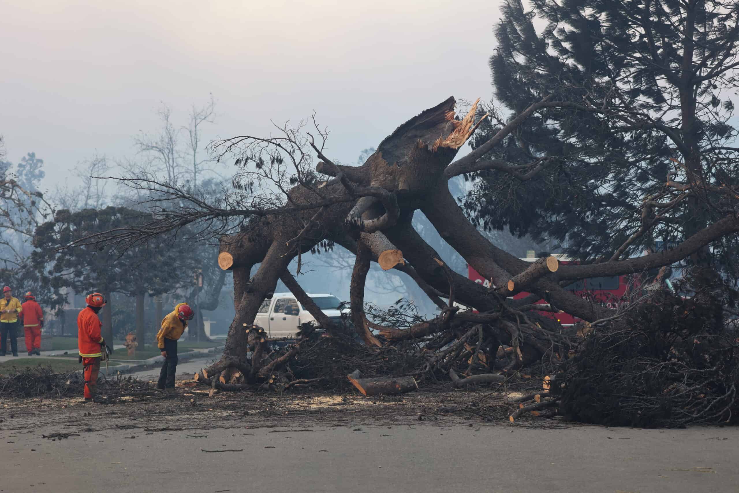
As flames continue to rage over households and human infrastructure, the fires have also burned wildlife out of house and home. Slow-moving animals who can’t outrun the flames, nocturnal creatures forced to flee during the daylight hours, and animals with young are especially vulnerable. Urban wildlife may face the brunt of this fire—including species like bats that live in the walls or roofs of buildings. Some residents are leaving out water for transient wildlife. Meanwhile, the flames of the Pacific Palisades and Eaton fires have turned back the clock on years of the region’s restoration and conservation efforts. But one wildlife professional has already turned to the future. “Part of bringing back L.A. is making sure that we’re also considering wildlife, nature and habitat,” Miguel Ordeñana, a wildlife biologist and environmental educator at the Natural History Museum of Los Angeles County, told High Country News. “Because if that doesn’t come back, and that’s not being supported, then LA is not going to be what it was.”

Read more at High Country News via Mother Jones.

New portable DNA test could help detect rare turtle

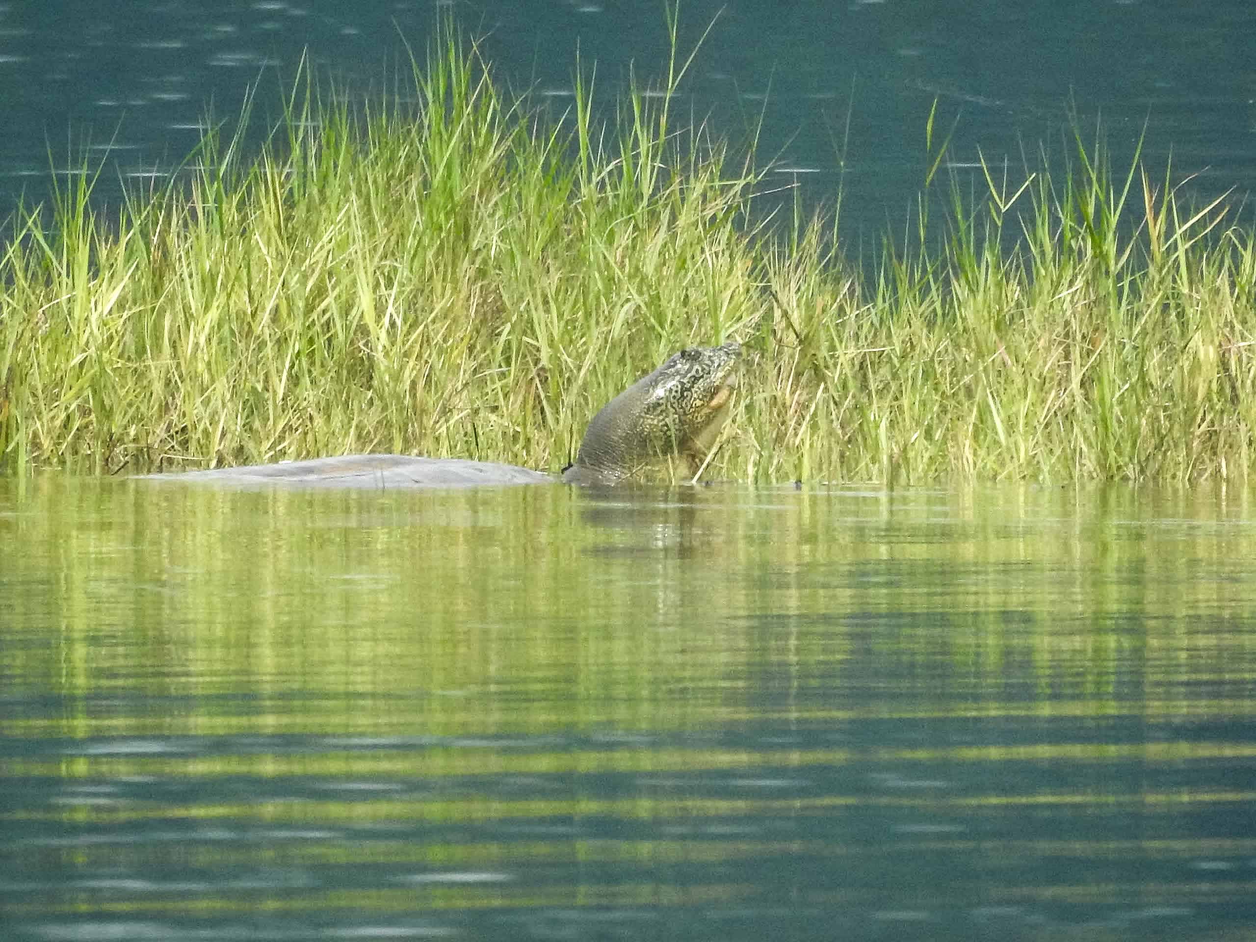
Scientists have developed a new portable environmental DNA test that can detect one of the most elusive and rare turtle species in the world. Scientists only know of two Swinhoe’s softshell turtle (Rafetus swinhoei) left in the world—one in a zoo in China and another in a lake in Vietnam. The male in captivity is a century old, while the sex of the other is unknown. In order to breed these turtles in captivity and potentially save the species, scientists need to find them—if they exist, that is. As described in a study published recently in Environmental DNA, researchers successfully detected the species in the wild, and are now using this portable eDNA test to search for additional individuals.

Read more at Wildlife Conservation Society.

Apply now for TWS’ Leadership Institute Class of 2025

The Wildlife Society’s flagship leadership training program, the Leadership Institute, is now accepting applications for its class of 2025. The deadline to submit applications is Friday, March 14, by 11:59 p.m. ET.

Leadership Institute participants will develop essential leadership skills and expand their capacity in current and future roles in the wildlife profession. Participants will enhance their skills to lead both as an individual and as part of a team. They will also have opportunities to build community and identify meaningful support systems, as well as to learn more about TWS and leadership within the conservation field.

Leadership Institute participants work on a variety of distance-learning and hands-on projects, which include analyzing leadership themes and concepts, engaging in mentoring opportunities and developing a greater understanding of how to apply their personal leadership skills to their vision for the conservation field.

The six-month program begins in May and concludes in October at The Wildlife Society’s Annual Conference in Edmonton, Alberta. Participants will receive complimentary registration and a travel grant to attend the conference (attendance for the entire conference is required). Participants can expect to dedicate approximately two to four hours a week from May to October to the program to complete reading material, participate in calls and webinars and work on individual and group assignments.

The Leadership Institute is for early-career professionals who are two to three years in the profession. Participants must be employed in the wildlife profession, whether that is seasonal, part-time or full-time, or they can be between professional positions. Strong applicants with one to five years of professional experience will be considered but should explain in their application why they are a strong candidate even if they are outside of the two to three year range. This program is not appropriate for full-time undergraduate or graduate students. Membership in TWS is not required to participate in the Leadership Institute. The Leadership Institute Committee will review all applications. The committee strives to create pathways to help enhance the diversity, capacity and efficacy of current and future leaders of TWS and the wildlife profession.

To apply:

  • Complete and submit the Leadership Institute Application Form and upload your CV or resume.
  • Provide two letters of recommendation (instructions are at the top of the application form).

For questions, please contact laura@wildlife.org.

Learn more about The Wildlife Society’s Leadership Institute.

Wild Cam: Lack of water drives key deer toward domestication

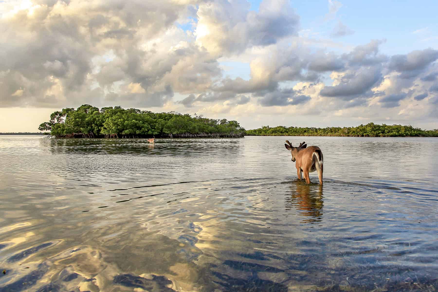
A lack of natural water sources as a result of climate change may be driving an endangered subspecies of white-tailed deer found only in the Florida Keys toward domestication.

If wildlife managers don’t stop residents from providing water to deer—and if they fail to expand artificial water sources—the Key deer (Odocoileus virginianus clavium) could become extirpated from their only natural habitat in the Florida Keys.

“It’s important to characterize the true state of affairs as far as the state of domestication,” said Jan Svejkovsky, president of the Ocean Imaging Corporation, a consulting business that conducts various types of environmental projects.

Credit: Valerie Preziosi

Key deer, the smallest deer species native to North America, primarily feed on red mangroves that grow in the Keys. The U.S. Fish and Wildlife Service considers the ungulates endangered due to the loss of habitat from development, domestication from humans feeding them, and changes to the fire regime in the area.

Svejkovsky has been interested in conserving these deer since just after Hurricane Irma struck southern Florida in September 2017. He and his wife, Valerie Preziosi, started a nonprofit called Save Our Key Deer, Inc., after hearing that wildlife rehabilitation centers in the area didn’t focus on this species.

Credit: Valerie Preziosi

How do Key deer find water?

In examining the ecology of the species, Svejkovsky and other volunteers with the foundation quickly realized that one of the main obstacles for recovery may be the availability of natural drinking water.

Decades earlier, a graduate student had mapped 294 watering holes in the Keys. But a closer examination revealed that many of these either dried up for most of the year, like the one pictured above, or became too salty to drink from. Further, hurricanes like Irma can lead to storm surge and sea level rise that can increase the salinity of freshwater sources.

In a study published in the Journal for Nature Conservation, Svejkovsky and his colleagues took a closer look at these water sources to determine how deer were subsisting in the Keys. 

Credit: Valerie Preziosi

The team began their research by testing and monitoring about 80 drinking holes from those originally mapped in the 1990s and found that many of them dried up for at least part of the year. Only a fraction of them served as year-round water sources, which came from either rainwater or underground freshwater lenses. The latter occurs when rainwater seeps through porous rock and forms a convex-shaped layer of fresh groundwater that floats above the denser saltwater below.

Credit: Valerie Preziosi

The holes filled with rainwater in particular—like the one pictured above—often dry up or become more saline in the less rainy seasons.

Overall, the team’s surveys revealed that large parts of Key deer habitat lacked natural drinking water sources. But since there were still deer in many of these areas, the researchers wondered how they were surviving.

Do people feed Key deer?

Residents in the Keys sometimes illegally feed deer. In fact, in some areas, the deer have become so domesticated that they allow people to touch them or hand-feed them. In one case, a Florida man faced charges for luring deer into his house with food, according to a local news broadcast.

Credit: Valerie Preziosi

In other cases, deer have become urbanized but not quite domesticated, where they’re invited into someone’s home. They may live largely off of food and water resources that humans provide.

“Due to the scarcity of the water resources, it’s silly to pretend that these are wild animals that do their own thing in the wild,” Svejkovsky said.

In fact, deer may be subsisting solely on natural freshwater sources only on a few smaller islands where there aren’t many people.

Credit: Valerie Preziosi

Svejkovsky fears that climate change and the resulting sea level rise and storm surges, which can make freshwater sources saltier, will only make matters worse. As a result, instead of residents providing freshwater directly to deer, he thinks a program that was started in the mid-2000s and subsequently abandoned should be readopted.

Back then, wildlife authorities enhanced some natural ponds in the Keys by digging out accumulated mud, sand and debris and expanding them. “That, in itself, could probably take care of some of these areas that experience a complete lack of drinking water in some seasons,” Svejkovsky said.

If not, he fears that subspecies may become extirpated from some of the Keys and totally domesticated in others.

This photo essay is part of an occasional series from The Wildlife Society featuring photos and video images of wildlife taken with camera traps and other equipment. Check out other entries in the series here. If you’re working on an interesting camera trap research project or one that has a series of good photos you’d like to share, email Josh at jlearn@wildlife.org.

Urban coyotes live longer in highly populated areas

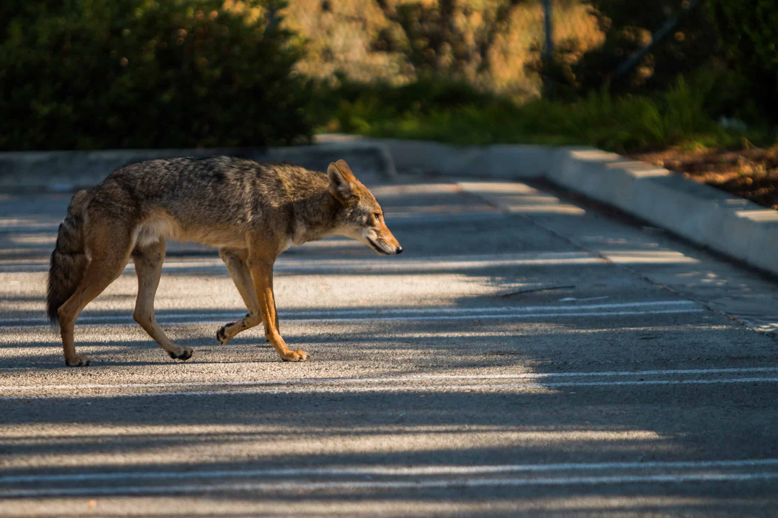
The same socioeconomic pressures that shape human communities can trickle down to urban wildlife, outweighing natural influences. Although human presence is correlated with lower survivorship in other species, coyote (Canis latrans) lifespans were longer in areas with greater human population. Additionally, coyotes in lower-income neighborhoods were 1.5 times more likely to reach two years of age than coyotes in high-income neighborhoods. Researchers speculate that more densely populated areas provide ample resources like food and shelter to Chicago’s coyotes, both of which are crucial for the animals to weather the city’s harsh winters. Higher-income neighborhoods, where urban parks and golf courses are common features, may have a greater density of coyotes—but also greater competition, lowering overall survivorship. “It could speak to how adaptable they are that they might prefer natural habitat, but at least in terms of survival, they can do just as well in more urbanized areas,” said Emily Zepeda, the study’s first author and a postdoctoral researcher at The Ohio State University’s School of the Environment and Natural Resources.

Read the study in Urban Ecosystems.

The finer side of predicting biodiversity patterns

Analysis of citizen science bird reports reveals that biologists who look at the big picture may miss the trees by focusing too much on the forest.

To conserve birds throughout North America in the face of climate and land use change, researchers need to know where they occur. Scientists commonly do this using species distribution models. By working at high resolution, bird researchers may find hidden hot spots of diversity that they might have missed otherwise.

“The species ranges really shrunk a lot when the models used coarse information about habitat features like land cover type and climate, just because they were missing all of these small habitat patches,” said Jeremy Cohen, a research scientist at Yale University. “When you add them all up, you can actually end up missing a quarter of the distribution.”

Modeling relationships between a species and its habitat on a fine scale—like a square kilometer—is often quite taxing on computer processing, with over 25 million square kilometers of land in North America. As a result, researchers often fit distribution models on a much coarser scale. Cohen and his colleagues wondered if researchers summarizing habitats at coarse scales may be leaving out important information.

Cohen led a study published in Global Ecology and Biogeography using citizen science data from eBird, a platform run by the Cornell Lab of Ornithology where users submit bird sightings, to determine how coarser scale distribution models might be biasing our picture of North American bird biodiversity.

The team used machine learning—a form of AI—to look at how species occurrence and absence related to habitat features such as climate, elevation and land cover type summarized at grid cells of 1, 3, 5, 10 and 50 kilometers. They repeated this for 572 bird species native to the U.S. and Canada. Then, they checked how well the models predicted biodiversity by generating a list of over 300 well-surveyed, evenly spaced sites in North America and comparing the presence or absence of species at these sites versus what their model suggested using different resolutions.

“Basically, we’re asking, ‘How well does the total number of species predicted by the models match up against the actual species recorded?’” he said. “What percent of the species that were estimated to be there were actually there?”

Indigo buntings occur across contiguous eastern U.S. forests and are less likely to have small habitat patches missed by coarse-grain models. Credit: Jeremy Cohen

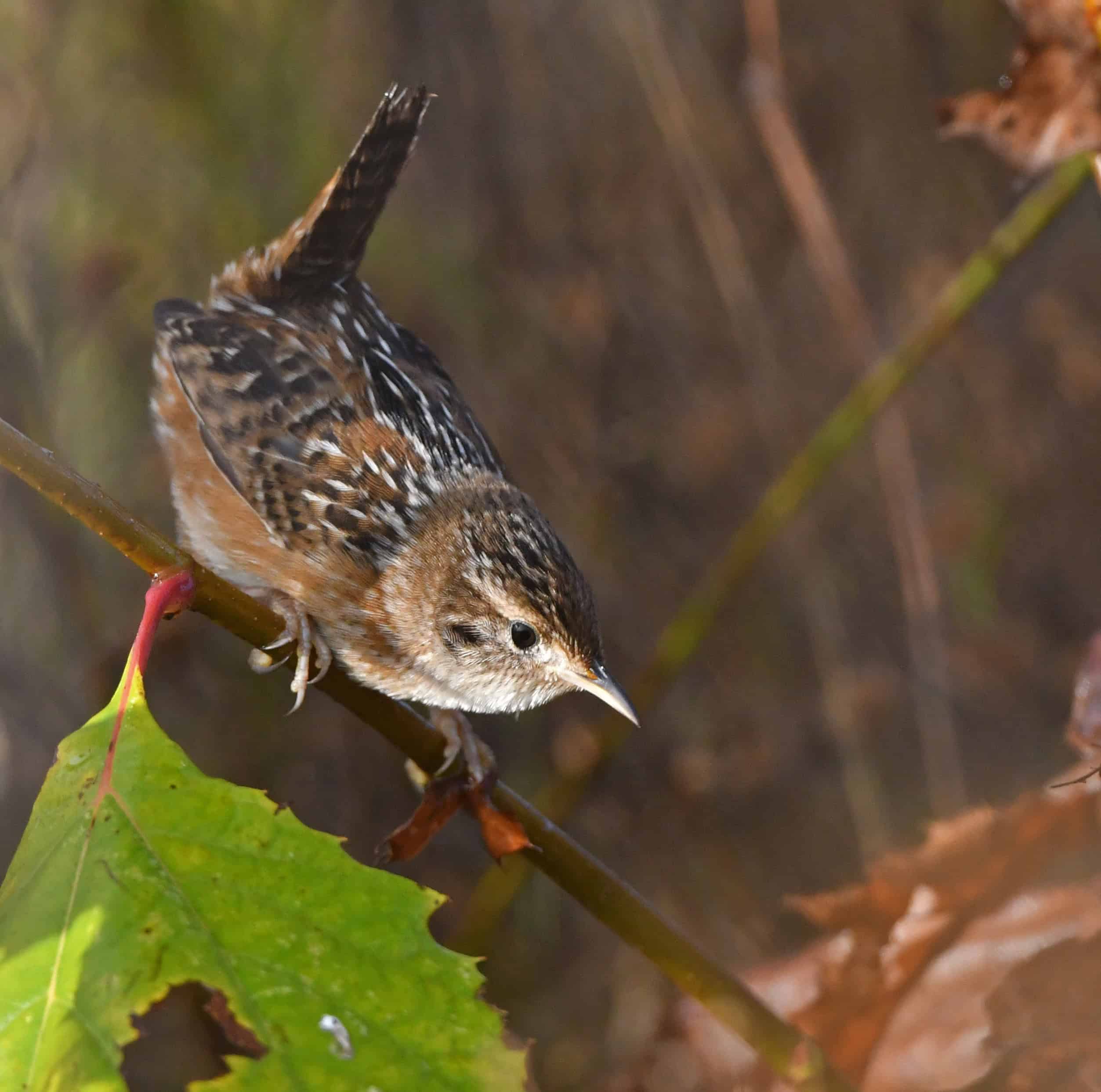
The team found that the coarser resolution models missed a lot of species that showed up at finer scale models that paid more attention to smaller habitat patches. For example, sedge wrens (Cistothorus stellaris), which breed in the central U.S. and Canadian grasslands, had smaller range size predictions when researchers used coarse-grain models because their habitat is patchy. Lesser goldfinches (Spinus psaltria), which live in woody and scrubby patches surrounded by deserts, also had much smaller ranges predicted when coarse-grain models were used.

The researchers also looked at seasonal biases by repeating the study with summer and winter distributions of species. “We did that because in the summer, birds are really picky about the habitat that they choose for breeding, but they are less picky in winter,” Cohen said. When comparing models across seasons, they found that the coarse-scale models were especially likely to miss species in the warmer months.

Finally, Cohen and his colleagues found that when looking at individual species, coarse-scale models did a poor job detecting species that had small ranges or were specialized to specific types of habitat, again missing important habitat patches. These species also happen to have the greatest conservation concern in North America.

Taken together, these small patches made a difference—you might miss up to a quarter of a species’ range by sticking to these coarse-scale methods, Cohen said. “By relying on coarse-scale models, managers could be missing a number of species that need to be considered for conservation in a given region,” he said.

Cohen said this research was borne from the 30 by 30 initiative to conserve 30% of land and water by 2030 in North America. “We’ve developed these really high-resolution maps that are really fine-grain, so you can see at local scales where biodiversity is high and then figure out which land is the most suitable for conservation,” he said.  

TWS welcomes new staff writer

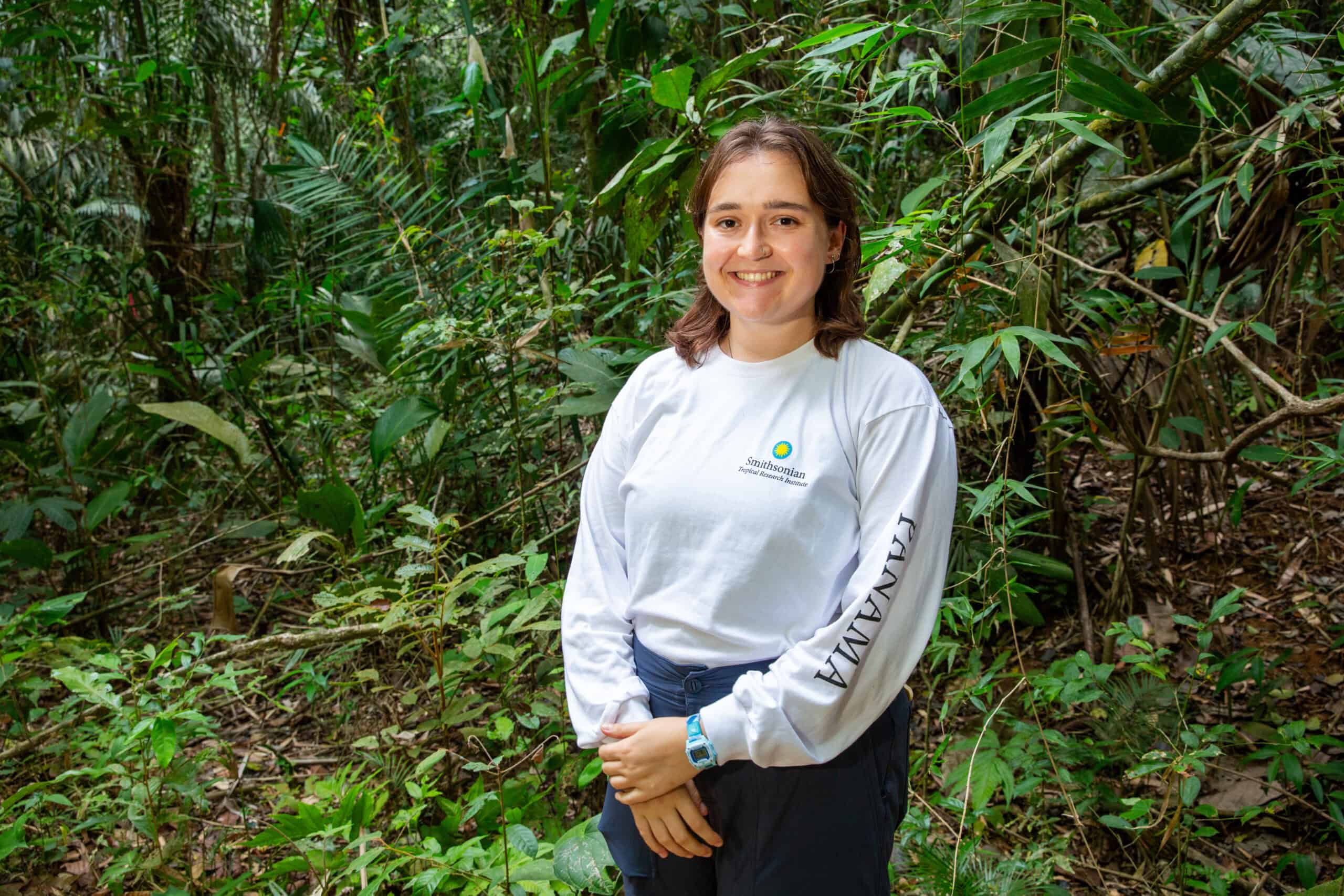
Olivia Milloway has joined The Wildlife Society’s communications team as a staff writer.

In Milloway’s new role, she will write articles for www.wildlife.org and The Wildlife Professional. She will focus on sharing TWS Sections, Chapters and member news as well as the Society’s policy work.  

Milloway spent the past few years working at the Smithsonian Tropical Research Institute in Panama City, where she was both a Fulbright Student Grantee studying the invasive Atlantic needlefish in the Panama Canal and a science writer.

Before living in Panama, she lived and worked at Schoodic Institute at Acadia National Park, where she created and produced season one of Acadia’s official narrative science podcast, Sea to Trees. She holds a Bachelor of Science degree in Environmental Science and Biology from Emory University, where she co-founded Emory’s student chapter of the Wildlife Disease Association. For her honors thesis, she studied chytrid fungus in invasive American bullfrogs in the San Francisco Bay Area.

Originally from Oak Ridge, Tennessee, Milloway is currently based in Brooklyn, New York. She is enjoying getting to know the urban wildlife in parks around her neighborhood.