


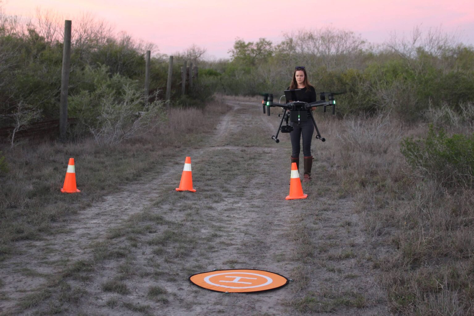
More and more biologists are turning to drones to survey wildlife on the landscape. By using thermal cameras, they can even find animals they might miss with the naked eye.
But a bird’s-eye view doesn’t mean the cameras will catch everything, and even thermal imagery has its downsides.
“There are trade-offs associated with each survey method,” said TWS member Aaron Foley, assistant professor for research with the East Foundation and the Caesar Kleberg Wildlife Research Institute.
In a study published in the Wildlife Society Bulletin, Foley and his colleagues evaluated the accuracy of daytime thermal-based drone surveys compared to helicopter, spotlight and trail camera surveys.
Helicopters and airplanes are the typical go-to vehicles for aerial surveys, but they can be dangerous for the crews and expensive for wildlife agencies. They can also be inaccurate and highly variable. In one study, Foley said, helicopter surveys detected anywhere from 20% to 70% of marked white-tailed deer (Odocoileus virginianus) on rangelands.
“We wanted to evaluate whether drones could generate more consistent population estimates,” he said.
Yet as drones emerge as an alternative, while studies around the world have looked at their feasibility, few have looked at their reliability.
That was a gap Foley’s team sought to address. Despite the advantages drones offer, their counts aren’t always accurate.
“There was a study from Australia that compared helicopter versus drone estimates of kangaroos,” Foley said. “The drone severely underestimated the kangaroo population size. If there was no independent population estimate via helicopter surveys, then one might erroneously conclude that the kangaroo population size was relatively low.”
To conduct their study, the researchers wanted specifically wanted to test the drone technology over a diversity of landscapes to see how well it performed in different terrains, areas with dense vegetation and open grasslands.
They tested the drones on five private, high-fenced ranches in South Texas, and surveyed a unique mix of native wildlife, domesticated animals and exotic species maintained for private hunts, from white-tailed deer to white-bearded wildebeest (Connochaetes taurinus mearnsi).
The researchers found a variety of factors that can influence the drones’ accuracy. Dense brush often blocked the view of animals on the ground. On one site, the drone was unable to follow the contours of the hills, resulting in a severe undercount in the brushy terrain. Even on flat grasslands, with little in the way to block the view, the reflectance of the sun on the landscape resulted in a hot background that made it hard for the thermal cameras to detect animals’ heat signatures.
But after accounting for visibility bias, the researchers found that the drones yielded population estimates for white-tailed deer similar to those from trail camera and helicopter surveys, and estimates from repeated drone surveys proved to be more consistent than those from helicopter surveys.
The findings suggest that drones can be reliable, the researchers found, but “some environments are more amenable to drone surveys compared to others.”
This article features research that was published in the Wildlife Society Bulletin, a TWS peer-reviewed, open-access journal. Join TWS now to access all TWS journals and read the latest in wildlife research.
Article by David Frey