Share this article
Sea turtles’ navigation systems may put them off course
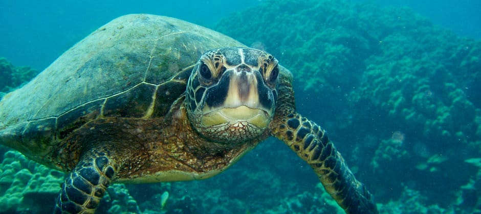
Sea turtles use internal maps to migrate to small, isolated islands, but researchers found the turtles’ navigation systems don’t always guide them with perfect accuracy. While many researchers have studied sea turtle navigation, they mostly only focused on areas along the mainland coast that were easier for researchers to find. A team of researchers attached satellite tags to 33 nesting green sea turtles (Chelonia mydas), to pinpoint key areas for conservation. In the process, they found many of the turtles migrated from their nesting beaches on the island of Diego Garcia in the Indian Ocean to small, isolated islands across the western Indian Ocean to forage. They found that turtles sometimes traveled well out of their way before correcting their direction. “We were surprised that turtles had such difficulties in finding their way to small targets,” said Graeme Hays of Australia’s Deakin University and lead author of the study published in Current Biology in a press release. “Often they swam well off course, and sometimes they spent many weeks searching for isolated islands.” Their findings support the idea that in the open ocean, migrating sea turtles use a navigation system, likely by using the Earth’s magnetic field since they can re-orient themselves to reach their destination. But, the researchers said, their “maps” lack fine details, so their sense of direction only operates at a crude level.
Header Image: Green sea turtles rely on navigation systems, but still may veer off course. Credit: Claire Fackler/NOAA


