

New maps documenting migration routes throughout the West can help inform managers and conservation groups about areas that are important for deer, elk and other migratory species in the region.
“Most of the ungulate species — not all, but most — are migratory across the West,” said Matthew Kauffman, a research biologist for the U.S. Geological Survey Wyoming Cooperative Fish and Wildlife Research Unit and a TWS member. “When you have all the mountains and plains systems we have in the West, for a lot of animals, they need to migrate to make a good living on that landscape to go up in the spring and summer and down in the valleys during the winter.”
Kauffman had already conducted research using GPS collars on big game in Wyoming to determine where they migrated. “When you get a collar back, you basically end up with breadcrumbs of where the animal went,” he said.
Determining where they migrate is important because the landscape across the West presents a number of obstacles — fencing, roads, subdivisions, oil and gas, wind and solar energy development and more — that block their path.
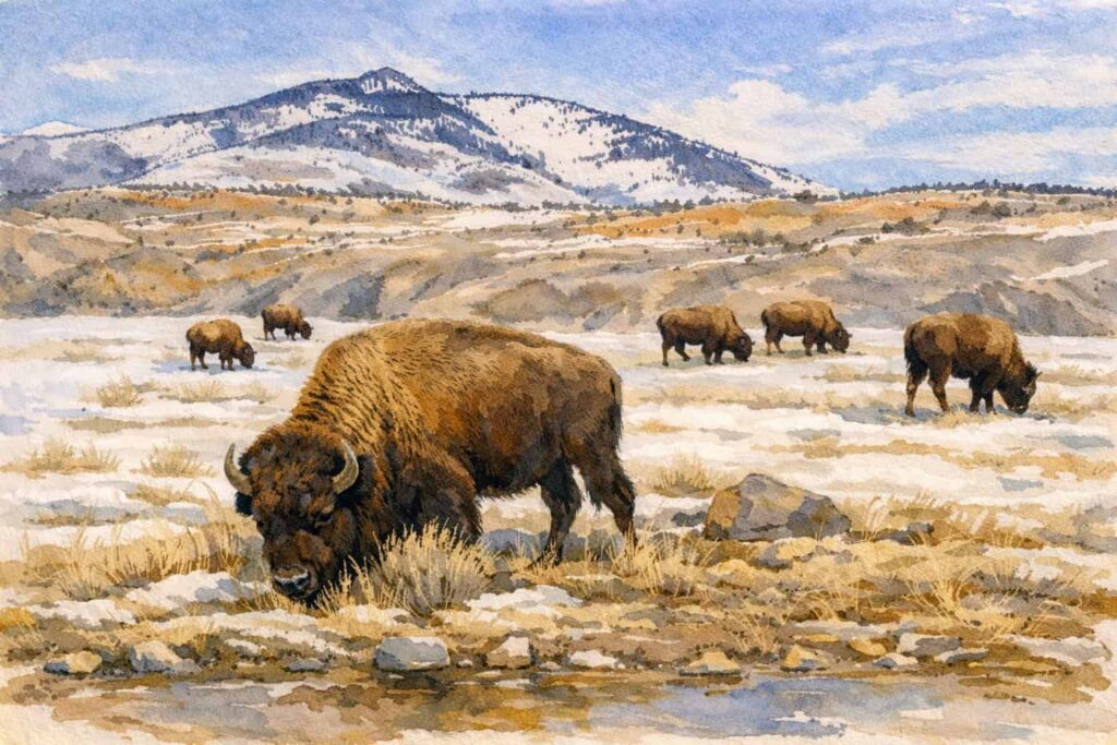
Kauffman was tasked with helping collect data from across the region to create maps showing the migration patterns of species like mule deer (Odocoileus hemionus), elk (Cervus canadensis), pronghorn (Antilocapra americana), moose (Alces alces) and bison (Bison bison).
About five years ago, Kauffman and his collaborators teamed up with the Mule Deer Working Group of the Western Association of Fish and Wildlife Agencies to conduct workshops showing the emerging framework for corridor mapping and what they had learned in Wyoming.
An order by former Interior Secretary Ryan Zinke that called on federal agencies to work with state managers to minimize disturbances in big game corridors provided new momentum to make west-wide mapping collaboration possible.
“As a USGS employee, I was called on to lead this effort,” Kauffman said. “Working with partners in state wildlife agencies, we thought the best way to do this was to form a corridor mapping team where we could all share expertise, learn from one another, and standardize our mapping methods.”
“State wildlife agencies have long invested in wildlife tracking to inform their management,” he said. “We wanted to leverage that tradition from the states and the wealth of data they have collected over the years.”
Working with USGS and state wildlife agencies, the corridor mapping team conducted hundreds of analyses to create publically accessible maps published by the USGS depicting the seasonal movements of the herds. Where these paths occurred wasn’t really surprising, Kauffman said, but the maps helped the team visualize large-scale migration patterns.
“What emerged from this, which has been kind of exciting to see, is just the patterns of migration repeated across different landscapes. Migration is a critical behavior across many western landscapes” he said.
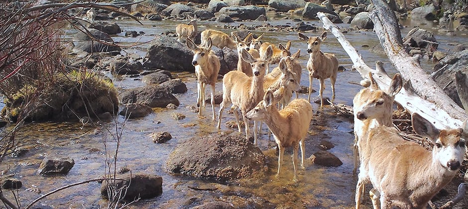
The maps have already been used to influence management and conservation. In Wyoming, the team mapped a 150-mile mule deer migration in the Red Desert-to Hoback corridor, discovered by Kauffman’s colleage Hall Sawyer in 2014. Then, they conducted an assessment looking at where oil and gas development and problematic fences and road crossings were located.
They discovered a bottleneck where 4,000-5,000 animals had to squeeze between the town of Pinedale, Wyoming, and Fremont Lake, a deep glacial lake. Right where this bottleneck occurs, a parcel of land was being sold for a development of lakeside cottages. “After we mapped it and became aware that this is where the corridor goes through, The Conservation Fund purchased the property and created the Luke Lynch Wildlife Habitat Management area, protecting that segment of the corridor in perpetuity,” he said.
Kauffman said they plan to continue mapping big game in the West. “The goal is to continue to conduct this work so that over time we build a robust inventory of where all these migrations are across the West,” he said.
Article by Dana Kobilinsky