- News
-
-
-
-
-
Latest News Articles
- Wildlife Vocalizations: Kylie Perez April 19, 2024
- Warning drivers about wandering wildlife April 19, 2024
- 2024 TWS Elections: Canadian Representative April 18, 2024
-
-
-
- Wildlife Professional Resources
-
- Our Network
-
- PUBLICATIONS
-
-
Recent Posts
-
 The Wildlife Professional November/December Issue
November 1, 2023
The Wildlife Professional November/December Issue
November 1, 2023
-
-
-
-
-
-
- Wildlife Events
-
-
-
Upcoming Webinars
- No Events
-
-
-
- Who We Are
-
- PUBLICATIONS
-
-
Recent Posts
-
The Wildlife Professional November/December Issue
November 1, 2023
-
-
-
- Wildlife Events
-
Tag: satellite imagery
February 15, 2022
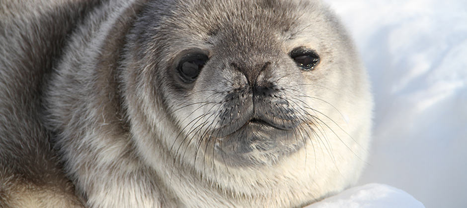
Counting seals from space
Volunteer scientists have helped researchers obtain a baseline count of Weddell seals in Antarctica using satellite images. The number of seals they counted is just a fraction of previous estimates,...
August 29, 2018
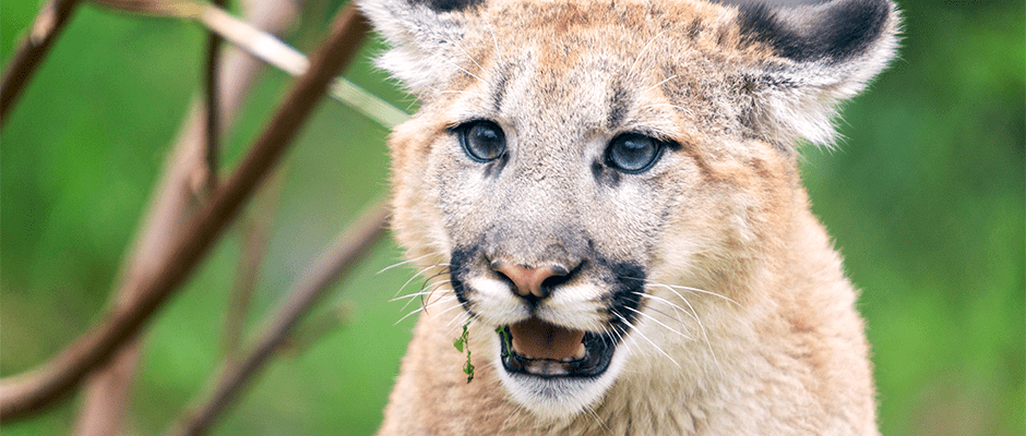
NASA satellite data paints picture of Southwestern wildlife
When most people think of NASA, they think of its space sciences wing. But researchers recently used satellite imagery as part of NASA’s earth sciences division to learn about the...
January 11, 2018
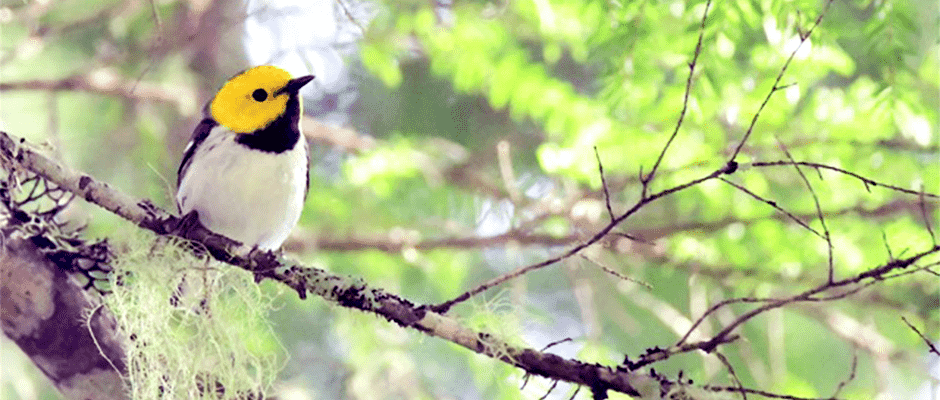
As climate warms, old-growth forests could give birds refuge
With temperatures expected to rise over the coming decades, some bird species could find it difficult to cope and suffer declines. But researchers in the Pacific Northwest found that old-growth...